PointBIM is a leading measured building survey company specialising in high-precision laser scanning and Scan to Revit modelling for existing buildings. We create accurate Revit models from point clouds, ensuring BIM integration for renovation and construction projects.
At PointBIM, we provide high-accuracy Measured Building Surveys across the UK, with a strong focus on the South East, including London, Bristol, Cardiff, Bath, and Birmingham. Using industry-leading Faro and Leica laser scanners, we deliver precise Scan to Revit models, AutoCAD drawings, and SketchUp models for architects, surveyors, and project managers.
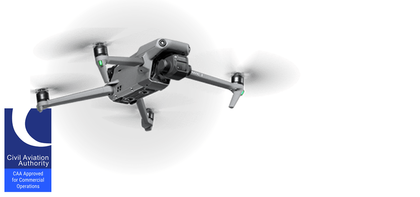
Our services also include panoramic photography, color and greyscale point clouds, and drone photography to enhance project visualisation. With extensive experience working with surveyors, architects, project managers, and facilities managers, we ensure high-quality digital documentation for every project

OUR PORTFOLIO
LASER SCANNING
Laser scanning enables fast and precise 3D data capture, revolutionizing how existing buildings are documented. Since 2010, we have been at the forefront of laser scanning services, utilizing advanced Faro and Leica scanners to deliver high-accuracy point clouds, Scan to Revit models, and 2D/3D CAD drawings tailored to project needs.